3-Day Inca Trail to Machu Picchu: the classic route, one day shorter


Description
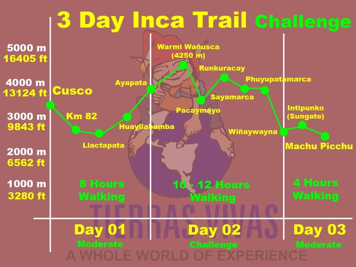
Most operators run the Inca Trail in four days. Tierras Vivas runs the same trail, starting at Piskacucho, KM 82, in three. The difference is day two: 21 kilometres in one push instead of a split, over Warmiwañusca at 4,215 m, then Runkurakay and Phuyupatamarca, then down through cloud forest to camp at Wiñay Wayna. Nine hours, give or take. Some people love that day. Others don't say much during it.
The third morning is why you'd book this. Four kilometres to Intipunku, Machu Picchu spread out below at 2,550 m, and you're through the Sun Gate before the first buses start climbing from Aguas Calientes.
If you have four days free, take the classic version instead. This one compresses the hardest stretch of the route, and in April, with the stone steps below Phuyupatamarca still slick from the rains, it's harder than the kilometre count suggests. I'd go in May. But if your leave is tight and you want the real trail, not the 2-day KM 104 route or a Sacred Valley combo, this is the itinerary. From USD $960, permits included. Closed every February.
What to Expect
- Operator: Tierras Vivas Travel, 20+ years running treks out of Cusco.
- Difficulty: 4 out of 5. Two high passes and a 21 km second day. You don't need to be an athlete, but if six hours on hills sounds rough at home, it'll be rougher at 4,215 m.
- Age: 9 and over, under-18s with an adult. Nine is the legal floor, not our advice. We'd say 12.
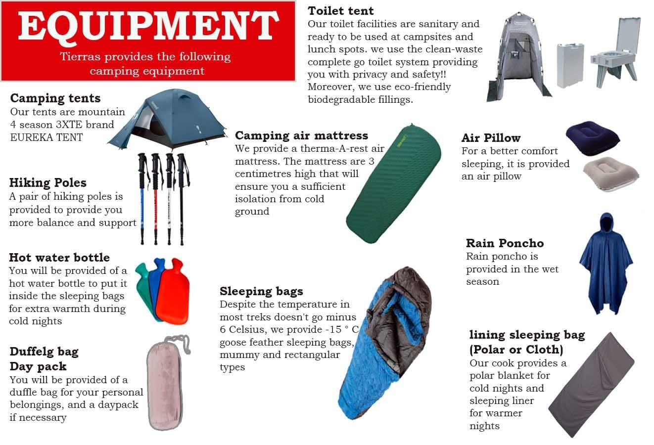
- Service level: Comfortable camping, not glamping. Two-person tents, dining tent, toilet tent. You'll still wash from a bowl at 5am.
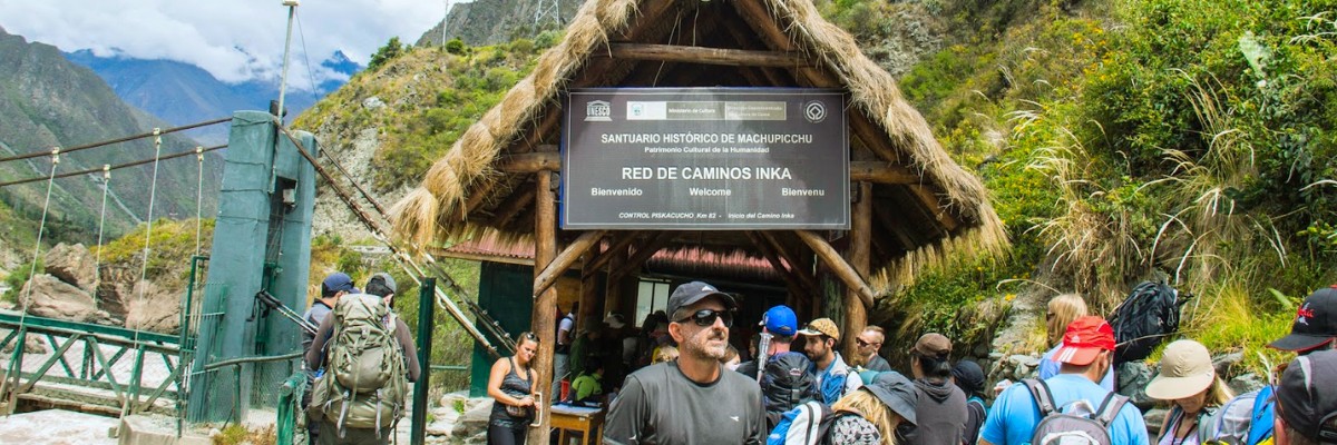
- Permits: Inca Trail permit and Machu Picchu ticket included. Both are nominal: the name and passport number you book with are what's checked at KM 82. No changes after issue.
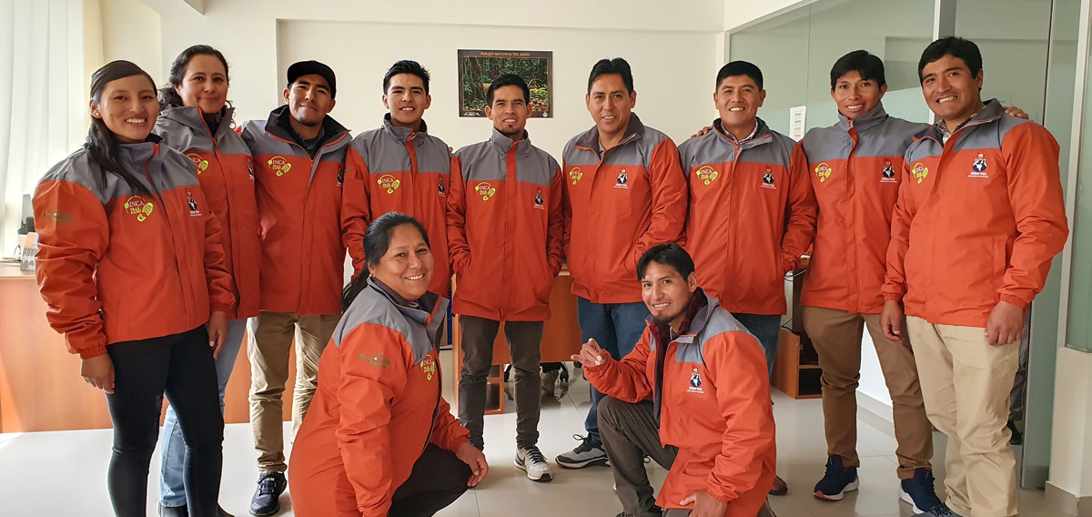
- Staff: Bilingual guide, trekking chef, porters. Loads capped at 20 kg per porter and weighed at the control point.
- Meals: 2 breakfasts, 2 lunches, 2 dinners, 2 snacks, 2 afternoon teas. Quinoa soup, lomo saltado, trout, and a cake baked over a camp stove on the last night. Vegetarian, vegan and gluten-free with notice. More on food.
- Transport: Private van Cusco–KM 82 via Ollantaytambo, one train back from Aguas Calientes.
- Camping equipment: Tents, sleeping bag, insulated mat, pillow, poles, boiled water.
Inca Trail Hike Itinerary:
- Day 1: Cusco – Piskacucho – Wayllabamba – Llulluchapampa
- Day 2: Llulluchapampa – Chaquicocha – Wiñay Wayna
- Day 3: Wiñay Wayna – Machu Picchu – Cusco
3-Day Inca Trail Highlights: Ruins, Passes and the Sun Gate
- Warmiwañusca, 4,215 m. The highest pass on the trail, cleared on day two.
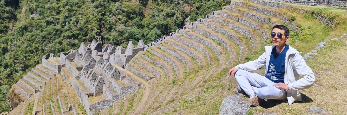
- Llactapata on day one, then Runkurakay, Sayacmarca and Phuyupatamarca on day two, walked past along the original stone road. No road reaches any of them.
- Camp at Wiñay Wayna, reached around 6pm after nine hours of walking. If permits put the group at Phuyupatamarca instead, day three starts earlier and runs longer; your guide confirms which the night before.
- Intipunku on the third morning, with Machu Picchu below and the citadel still quiet before the first buses come up from Aguas Calientes.
- An extra porter included as standard, so you walk with a day pack and water while your duffel goes ahead.
- Cloud forest on the descent to Wiñay Wayna: orchids, bromeliads and hummingbirds, in the stretch where the stairs get steep and everyone slows down anyway.
- Guided tour of Machu Picchu on arrival, led by the same guide who walked the trail with you.
Itinerary Details
Day 3: Wiñay Wayna – Machu Picchu – Cusco
You'll be woken around 3am. Not because the walk is long, but because the checkpoint below camp opens at 5:30 and the queue forms well before that. Head torch out, bag packed the night before.
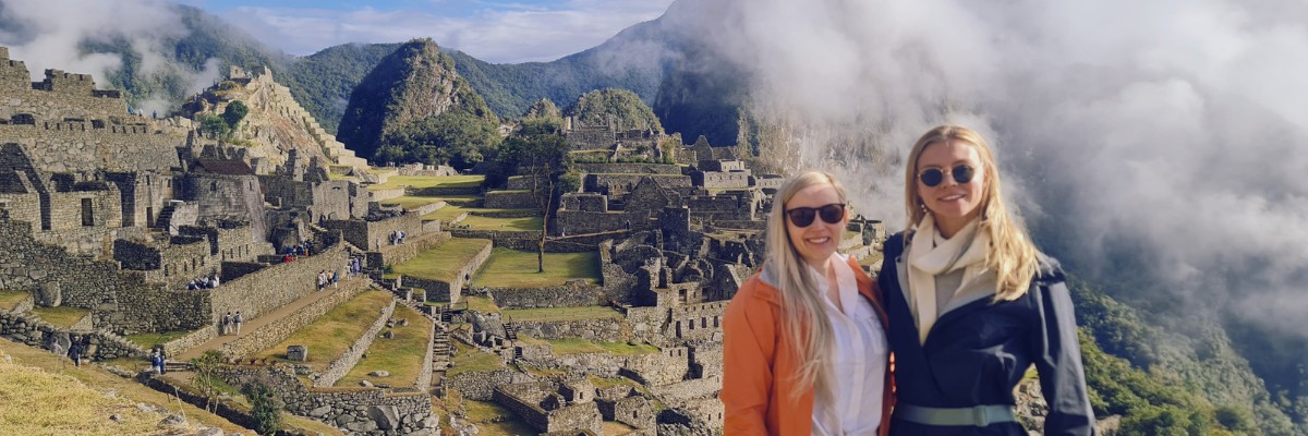
Four kilometres in the dark, then the stairs. The last pitch up to Intipunku is steep enough that people stop talking, and then the ridge opens and Machu Picchu is there below you with cloud usually still sitting in the valley. Whether you get the clear view or a wall of white is luck. Both are worth the climb.
From the Sun Gate you drop down to the Guardian's House, where the photograph everyone recognises gets taken. Then down to the main entrance for a short break, restrooms and a coffee, before the guided visit starts.
Your guide hands you a fresh entrance ticket at the gate. The tour runs about two hours through the circuit you've been assigned, and which circuit that is depends on the Ministry of Culture and on availability, so we don't promise a specific one. Stay on the marked path and well back from the edges.
Bus down to Aguas Calientes in the afternoon, then the train to Ollantaytambo and the van back to Cusco. Lunch on this last day isn't included, which after three days of camp food most people take as good news.
- Distance: 4 km on foot
- Time: 4–5 hours to Machu Picchu, plus a 2-hour guided visit
- Sites: Intipunku, the Sun Gate and Machu Picchu